TARKINE
TRANSGLOBAL
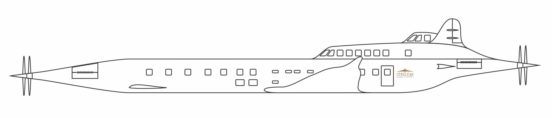
Using the rendered model to make the travel posters.
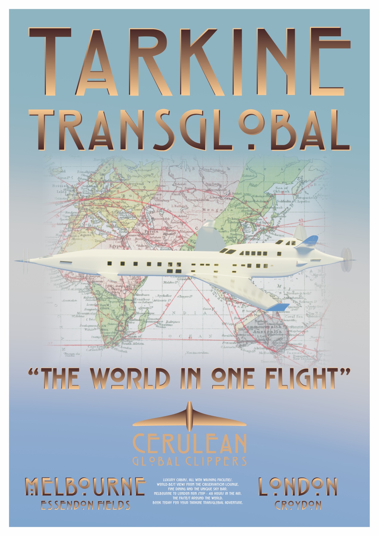
The Tarkine World in one Flight poster.
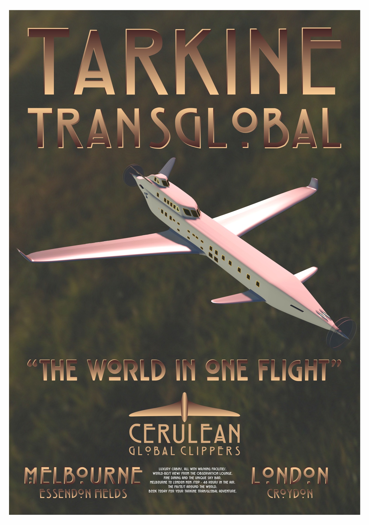
The Tarkine Transglobal Overland poster.
Design and Rendering
Creating a good render is one thing. Creating a great poster design is something else. With the poster we are trying to be impactful, striking, so as to communicate the message. So we have to be clear about the message and then come up with a great way to represent it.
Themes: that sense of adventure, the speed, the comfort, the new possibilities afforded by flying, exotic foreign destinations and the aircraft themselves. With the first travel poster I am aiming to showcase the aeroplane. The second can be something more exotic, dramatic or unusual.
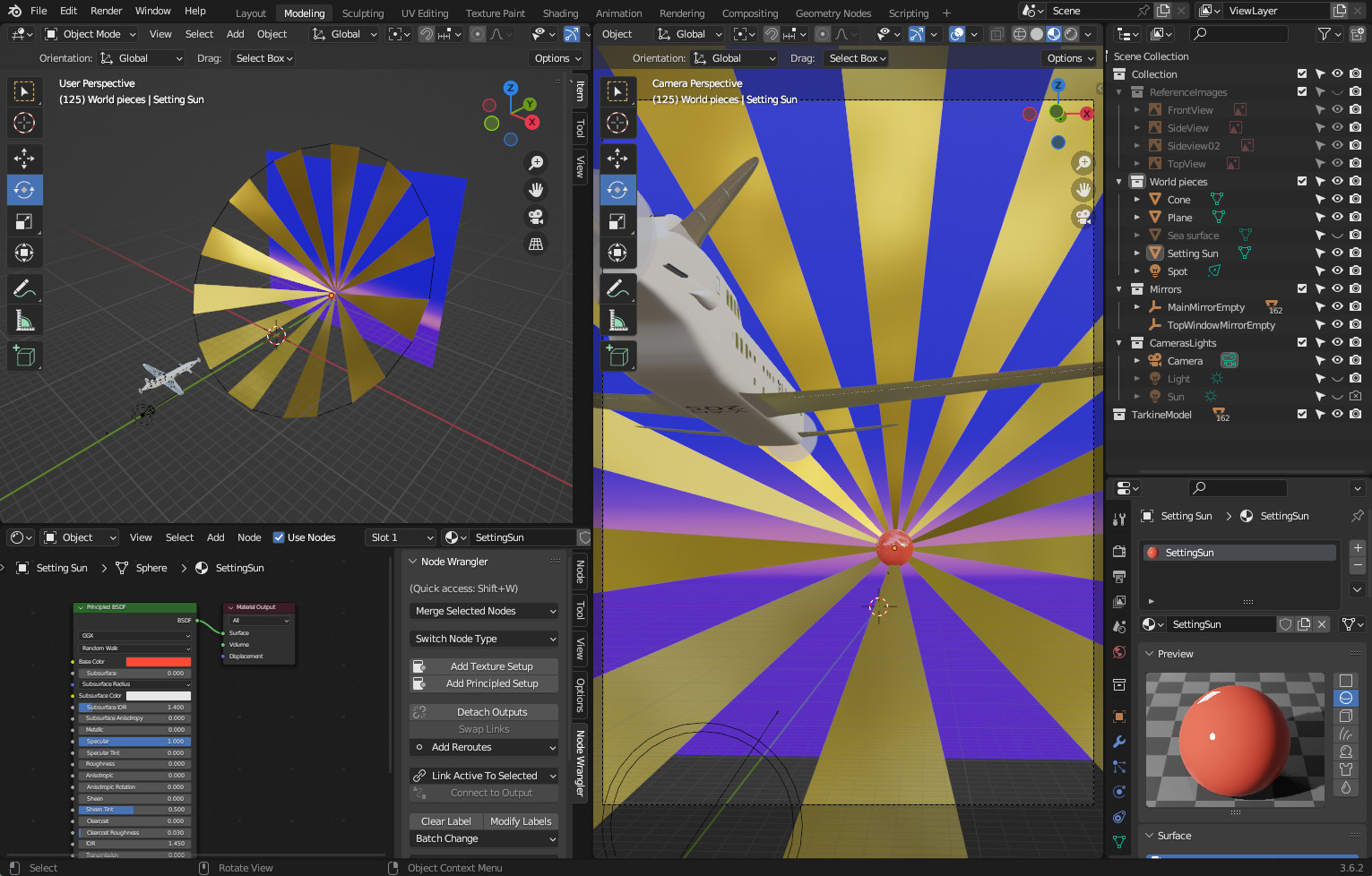
I usually start with some idea in mind. The Render Preview display in Blender helps to test out those ideas.
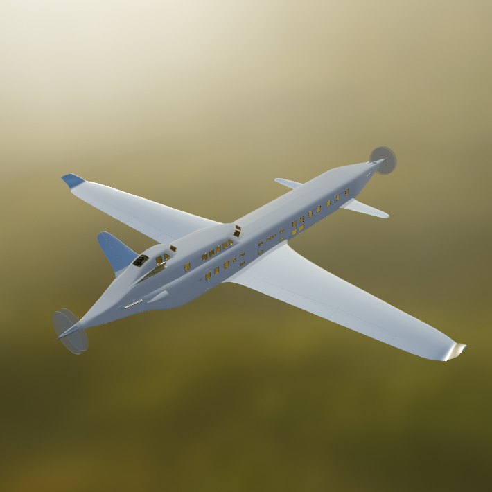
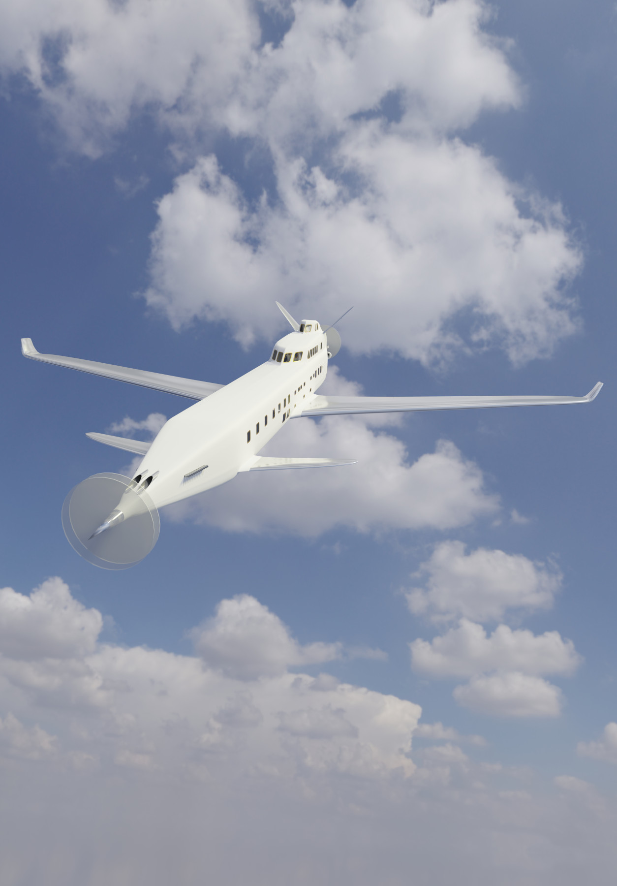
First test renders
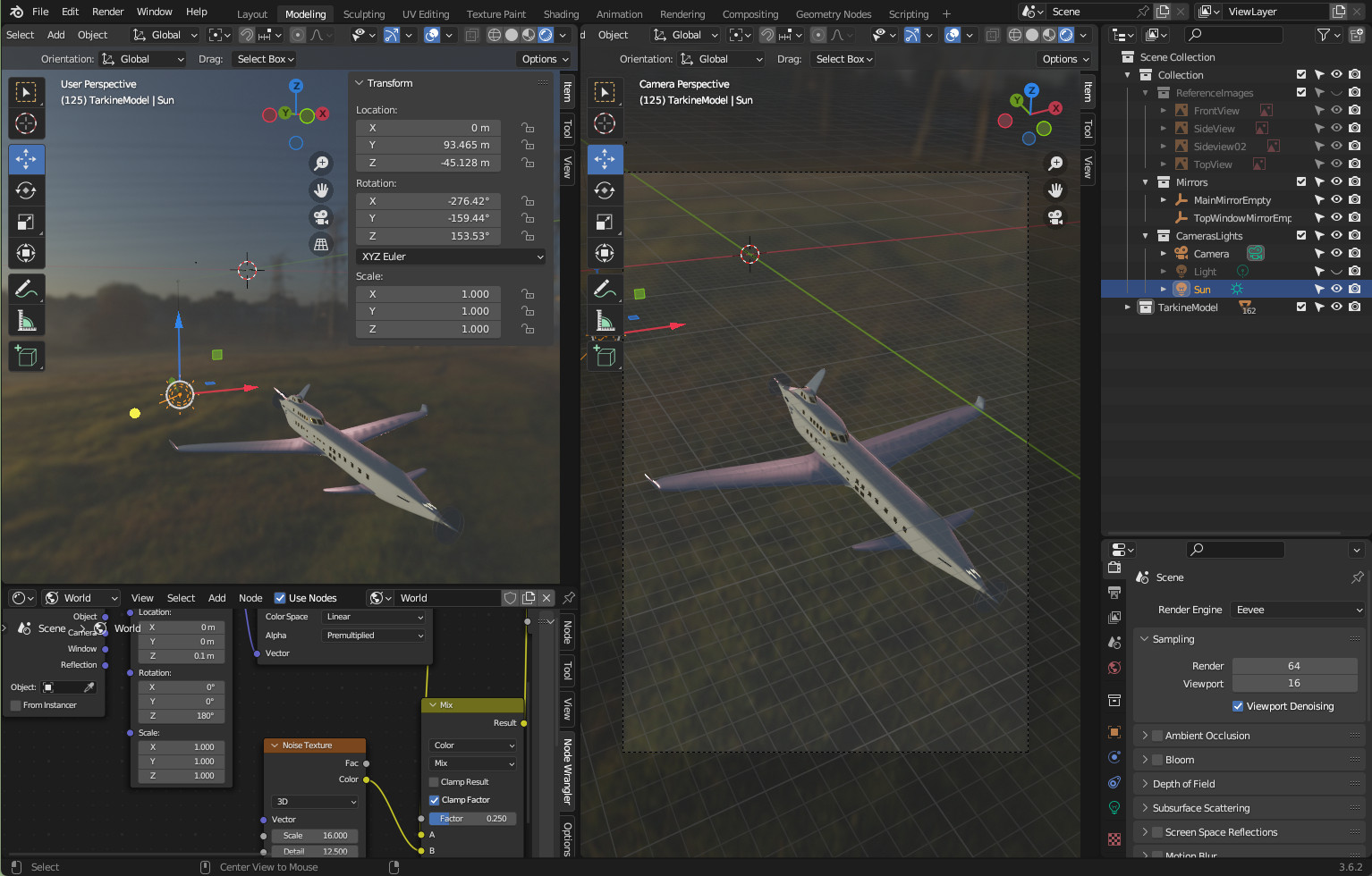
Back into Blender and the sky HDRI I got from Poly Haven.
That is not very exciting but quite pretty. It made me realise one thing - that the good people who created the HDRI had removed the bottom half to make it a "total sky" image. That means that, when you look down on Tarkine, there are no clouds beneath it which is problematic because I wanted a "flying in the clouds" render. I got round the problem by turning Tarkine upside down and looking upwards.
Being an HDRI that threw the lighting out a bit, but that was fixed with another Sun light.
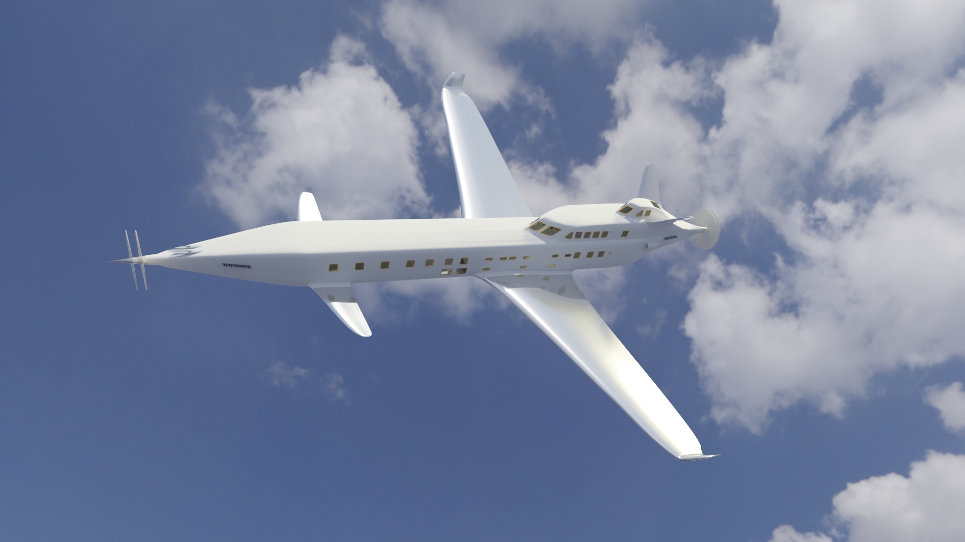
Poster render
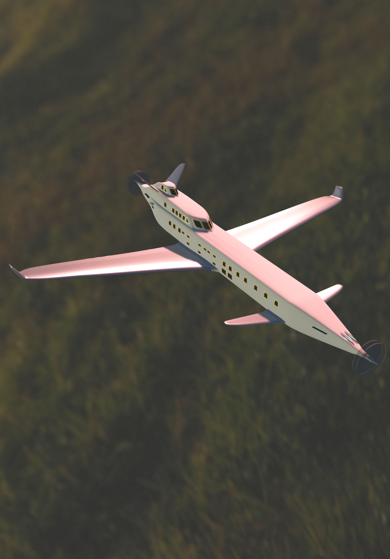
So a render - Tarkine in the clouds, large scale and something to show off the form of the aircraft. This is what came out:
I felt that that was OK - if a bit flat. I made two prototype posters, one with a tweaked and much more dramatic background.
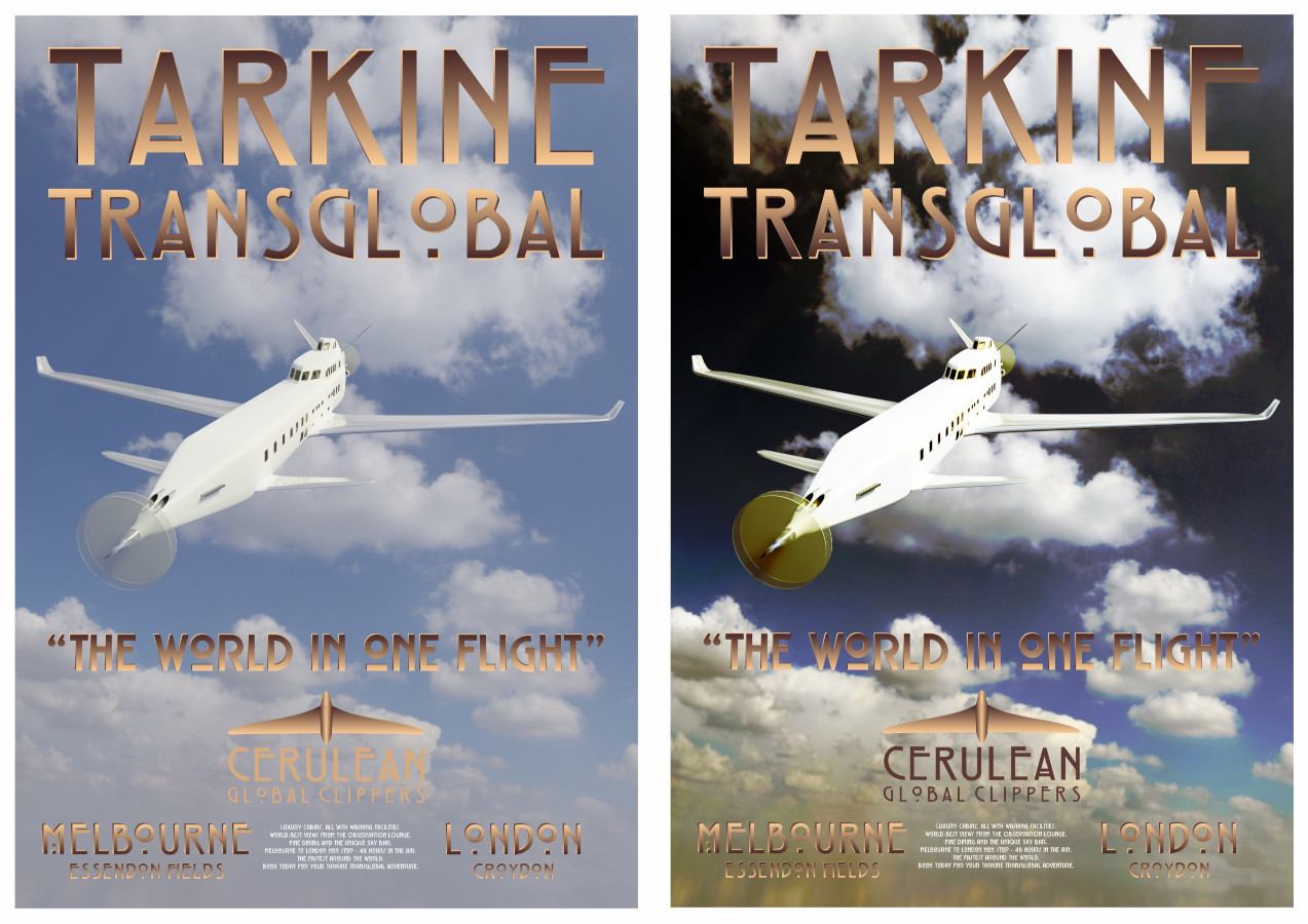
Well, if you're ever not sure of a thing, test it out on social media. I put these two up on LinkedIn's Blender artist group. I got 168 views and not a single like, which I think speaks volumes. There is something not quite right, plus the font is hard to read in the printed paper versions. So a good try, but needs more work. Time to start again.
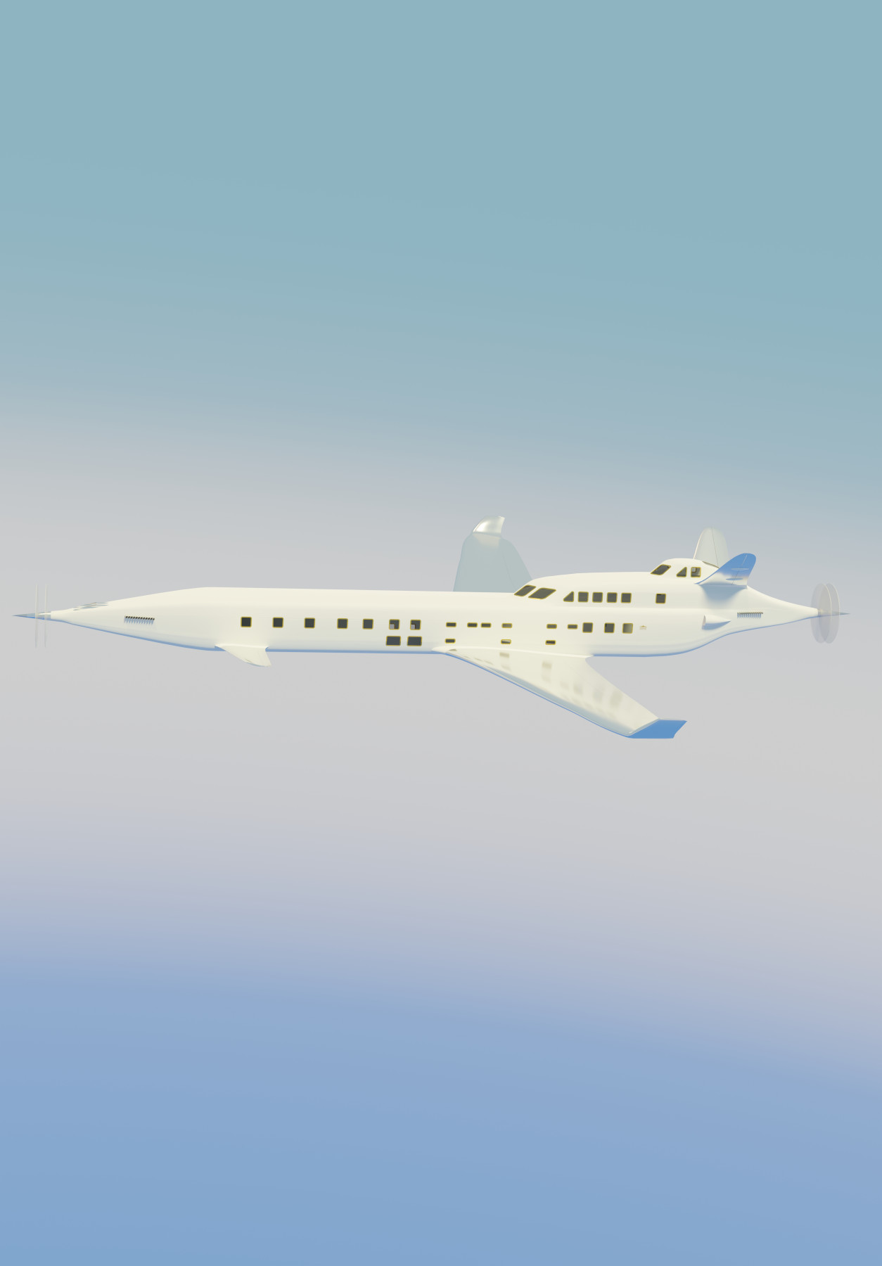
Clean and Simple
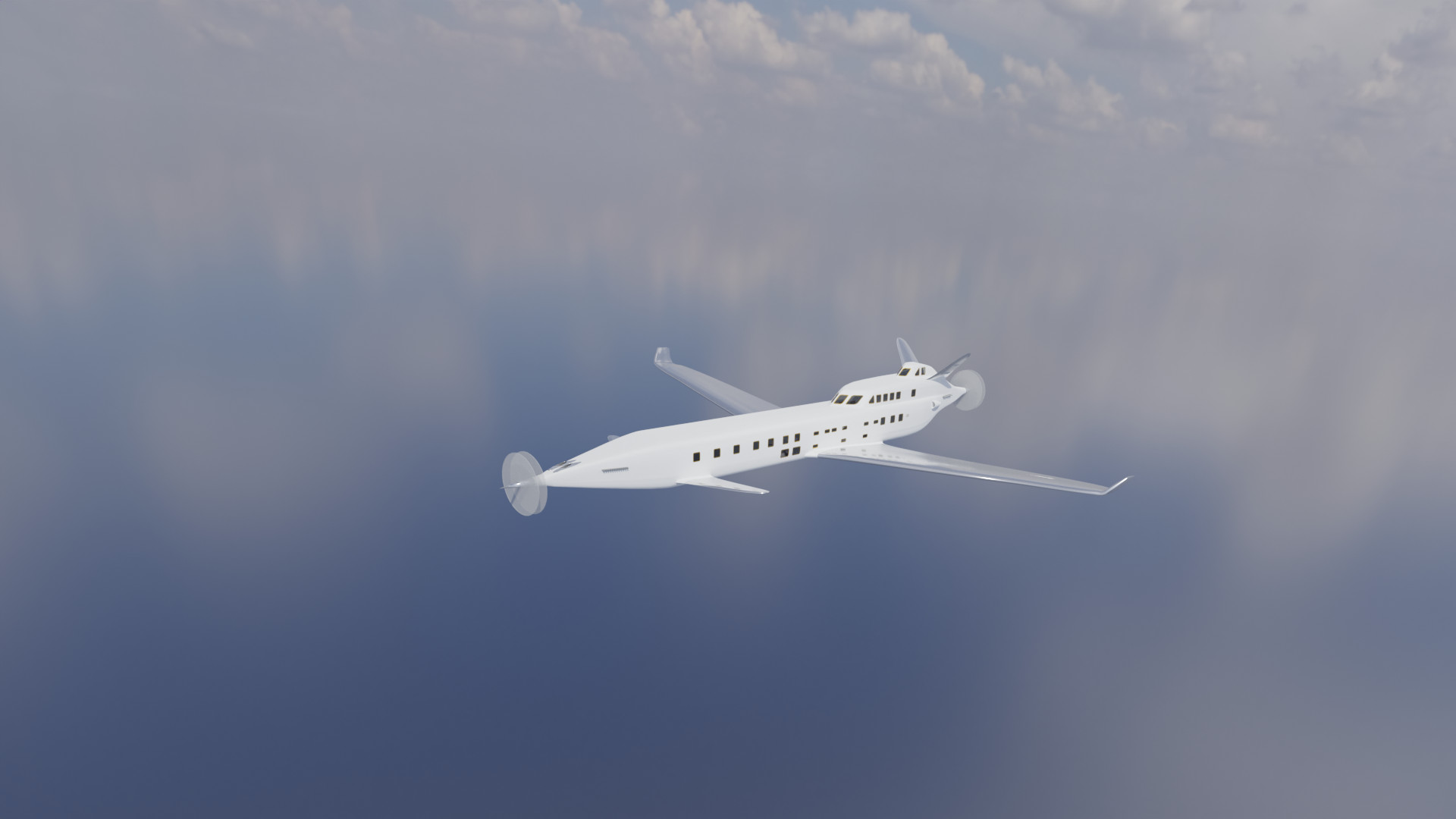
I do like the clouds but they can make the poster "very busy". So I had a go at a render with a very simple and subtle sky background of pale blue tones. This I hoped would work well with the brown and gold colours of the Tarkine font. The sky render came out as this:
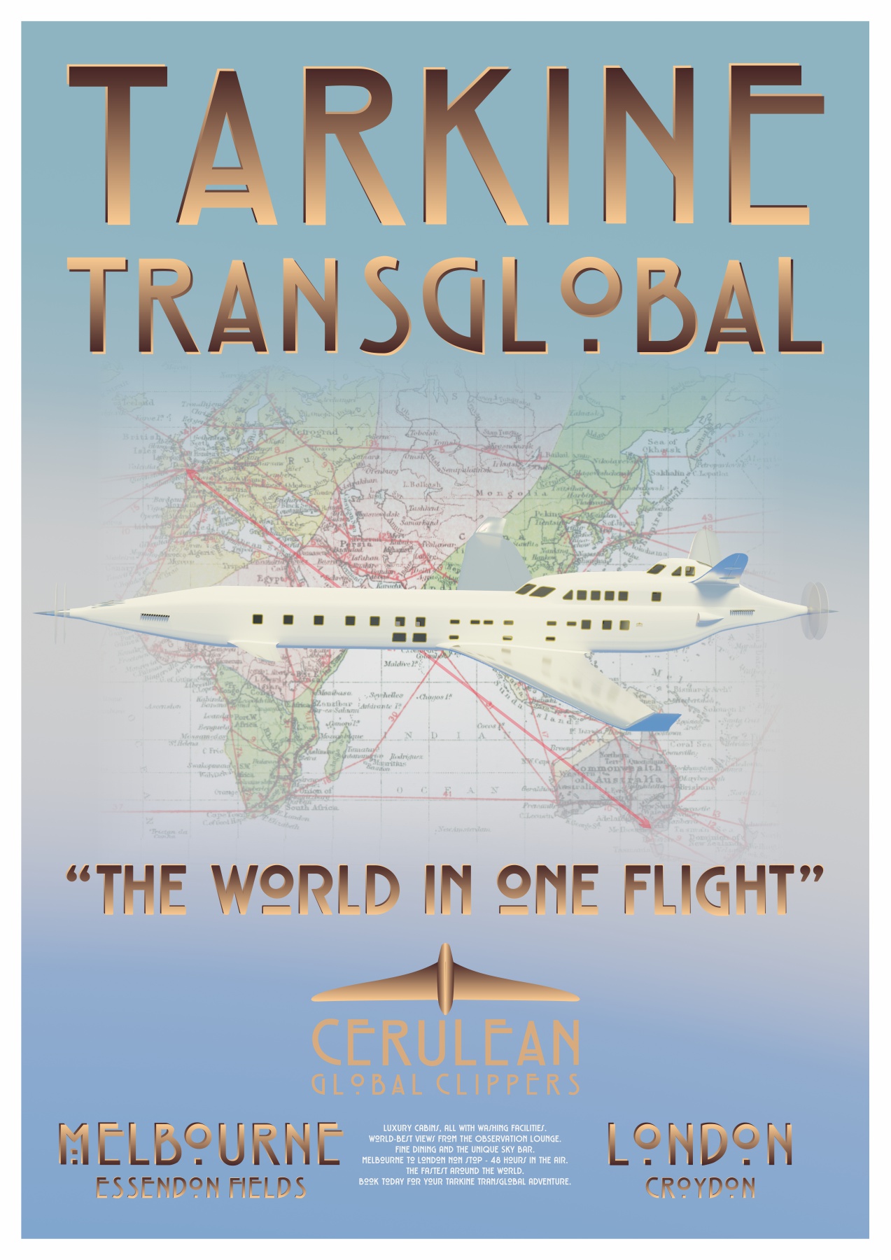
Yes! I added the poster font and a map in the background. The map is actually taken from an atlas published in 1920. It is of the great air routes of the time.It took a bit of effort - I made the transparency tool work. But I'm pleased with the result. This is poster one.
Great circles
At least I thought that was the first Tarkine travel poster done, but no. This is where printing a copy, hanging it on the wall and looking at it for several weeks comes into its own. The line between Melbourne and London shouldn't be straight - Great Circles!
Making maps of the Earth is a tricky business because you have to translate features on the surface of a sphere to a flat plane - often a flat piece of paper. The great map makers solved this problem by coming up with the concept of "projections".
One of the most famous projections is Mercator. This projects the Earth onto the inside surface of a cylinder and then cuts the cylinder from north to south, unrolls it and lies it flat. It is clever because the lines of latitude and longitude remain pointing north-south, east-west but it has one problem. The closer you get to the poles, the more landmasses are stretched and made bigger. For example, the top part of Russia looks huge compared to the rest of Europe, when the reality is it just isn't that big.
In the first version of this image I drew that straight line between London and Melbourne.
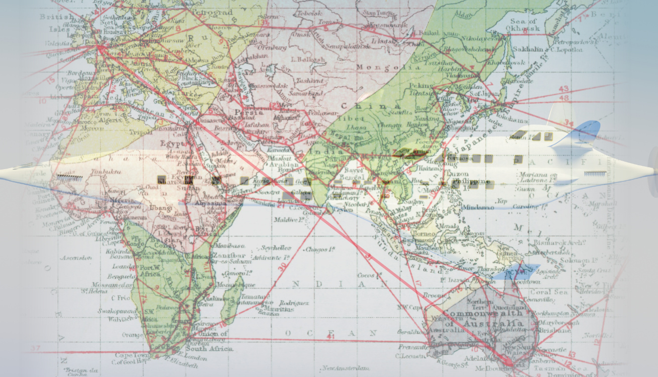
But a straight line across a Mercator projection is not such a good idea. If you un-Mercator it and look at the route you have drawn on the Earth, the chances are it's pretty wonky and certainly not the most direct. The best way to represent a route is to project the great circle route into Mercator. A great circle route is a direct line between two points on the Earth - a straight line across the globe. Once in Mercator, because of the "stretching", the route does not look that direct - but it truly is. There are great circle mapper websites to help you do this.
The Croydon to Essendon flight plan takes on a rather graceful mirror s curve. Now this is the finished first poster.
A second poster
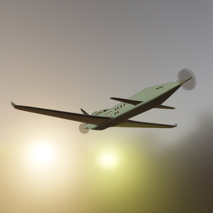
The second poster proved to be quite problematic. I had this idea of a shot from behind Tarkine as it flew towards a stylised sunset over water. I worked with that idea for quite a while. This is how it was looking inside Blender.
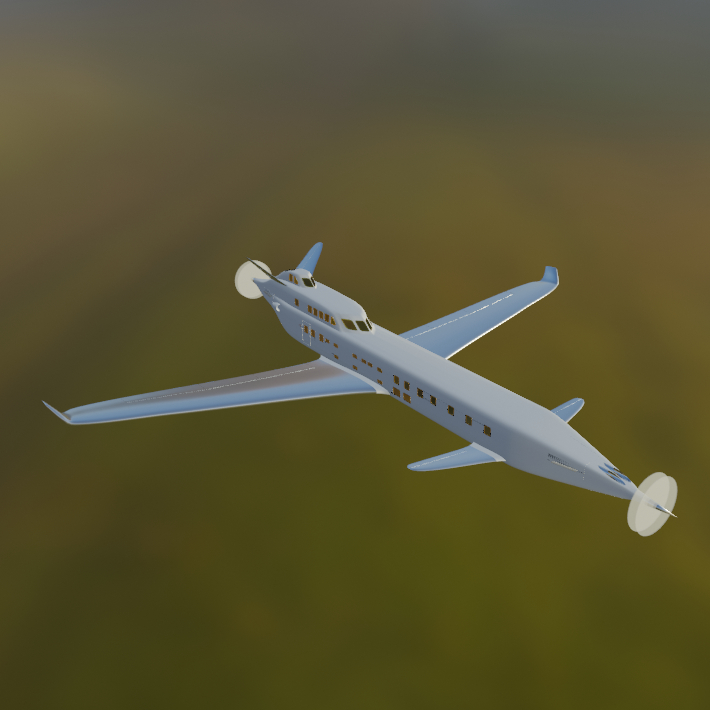
Quite quickly though that began to feel to fussy and complicated. I probably could have made it work but with posters I believe that "less is more". So where to next. Well I reminded myself of those initial screenshots I had made, especially this one:
So I set about recreating that shot. You can actually use the Blender inbuilt HDRIs - you just have to find them in amongst the Blender application installation. I wanted to keep the sunset idea - thought that would contrast well against a darker background so used a Sun light to compliment the HDRI lights. The Blender sunrise HDRI is shot over a field of grass. I used a bit of noise to create a blurring effect and set Blender up like this:
It took some adjusting and bit of post-processing but eventually I got the result I wanted. Rendering that large a jpg sent my laptop into meltdown with Cycles but we got there. In the end though I preferred the simpler and much much quicker Eevee render:
That gave me the second Tarkine travel poster.
In the midst of all this I was using Officeworks for printed copies but they were driving me mad! Every print was the wrong size - it was like A2 had suddenly become variable in nature. Some were too small, some too large - by centimetres. I'm now using The Print Company and so far they have been very good.
Flight plans
If you are going to take a trip half way round the world on the premier transglobal air clipper, there are a couple of very important things to know:
- What time does the restaurant serve kippers?
- When does the bar open?
Naturally, Cerulean, as a premium travel service provider, has answers to these vital questions. This information, and so much more, is contained within the Tarkine Flight Plan and Dining Schedule.
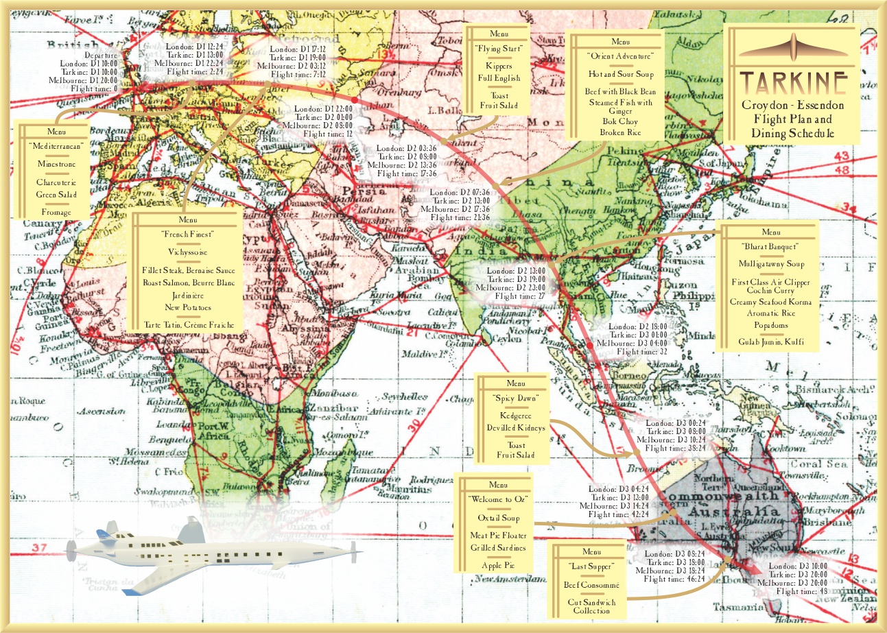
Being at altitude tends to dull the taste buds. The Chefs counter this with a healthy amount of spice, especially towards the end of the trip. They try and match the cuisine on offer with the geographical position of the aircraft - and take a certain license in doing so.
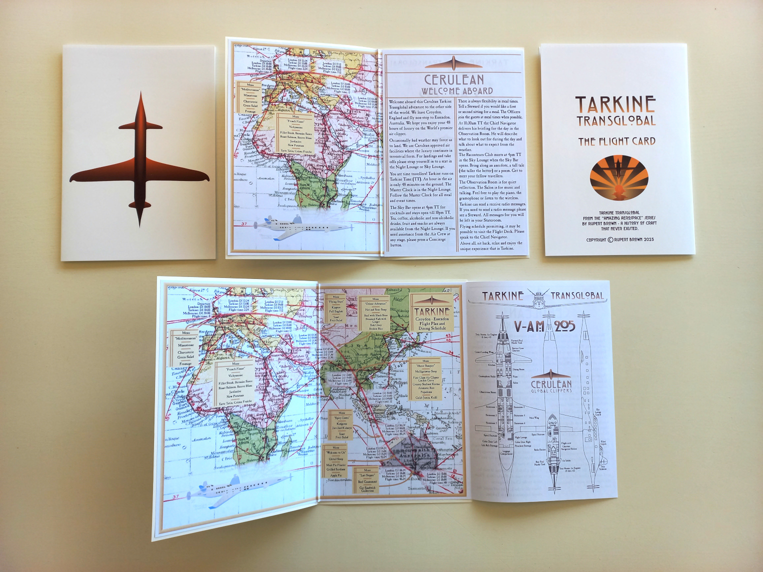
The schedule is contained within the Flight Card, which offers up further information about the trip.
The essence of the Tarkine experience is to be at peace, Gin and Tonic in hand, comfortable in the Observation Room, watching the emerald green canopy of Siam slip by.